
Trace a Calabasas Street by Address
An address-first search has a clear order in Calabasas. Begin with the situs address, meaning the place where the parcel sits, and use the county Assessor Portal to obtain the Assessor Identification Number, or AIN. The AIN is the stable key for comparing the parcel map, tax facts, permits, and recorded instruments. The online parcel card does not supply an owner name, so the next step is a lawful request through an Assessor district counter or Property Data Sales. That owner or vesting name can then be used in the Los Angeles County Registrar-Recorder/County Clerk index, which is organized by grantor, grantee, and recording year rather than by street.
- Normalize the street address and search it in the Los Angeles County Assessor Portal. Save the AIN, situs, legal description, map link, and parcel characteristics.
- Use the Assessor district counter or Property Data Sales for the current owner information. Do not treat an absent online owner field as a failed search or fill it with a guess.
- Search the current owner as a grantee at the RR/CC Norwalk office for the likely acquisition year. Record the grantor, instrument number, date, and legal description.
- Use the county voter verification form only for an exact person who can supply the required last name, birthdate, house number, and ZIP. It is not a street-browse tool.
- Use regional reverse or criss-cross directories, census schedules, permits, and obituaries to test who was associated with the address in a past period.
The flow is therefore address to AIN, AIN to a lawful owner channel, owner to deed chain, and then to carefully limited occupant evidence. A parcel may have several title parties, a mailing address elsewhere, and no public record for another person in the household. The Calabasas address guide is strongest when it keeps those distinctions visible.
Calabasas Assessor Search Fields
The Assessor Portal supplies the first address-keyed record. Its Basic Search accepts an AIN or a situs address. Legal Search provides a parcel-oriented route, while Map Search lets a researcher pan, zoom, and select a parcel when an address is incomplete or a neighboring lot matters. The result may show the AIN, situs address, use type, legal or parcel description, assessed land and improvement values, tax-rate area, building characteristics, and map links. It deliberately omits the online owner name.
| Field or control | Type | Required | What it does |
|---|---|---|---|
| Search by AIN or Address | Autocomplete or text | Yes | Finds an Assessor Identification Number or situs address. |
| Basic Search | Tab or button | No | Runs the main address or AIN search. |
| Legal Search | Tab or button | No | Uses legal and parcel-oriented information. |
| Map Search | Map controls | No | Pans, zooms, and selects parcel polygons. |
The map is useful for address research because a legal address may be incomplete, newly assigned, or described by an older tract reference. Save the portal’s effective-date information with the result. An online parcel card is a record of land and assessment facts, not a roster of people at the property.
The Assessor mapping help page shows the address and AIN search context used to inspect a parcel. The image is a reminder that the map is the public starting point, while an owner name requires the separate channel described above.
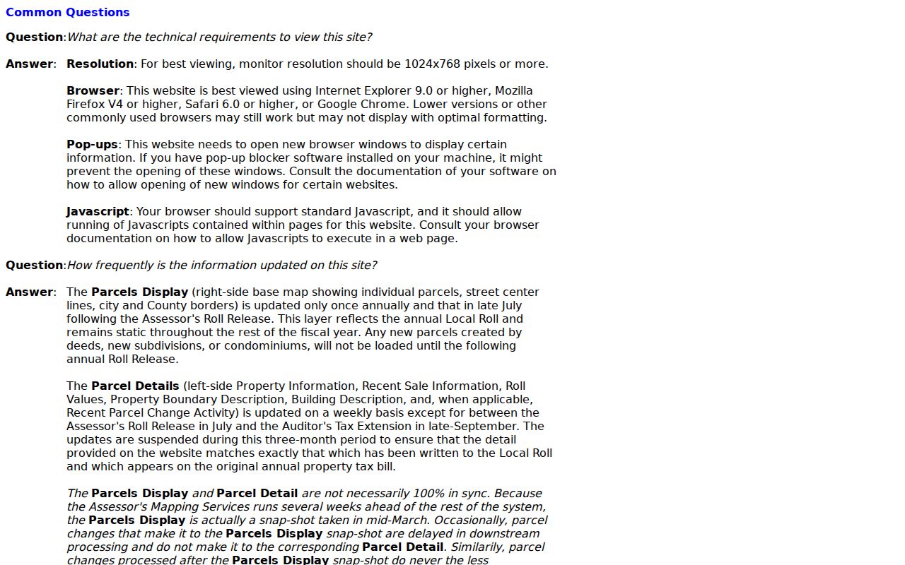
Reading the AIN and situs together prevents a common error: carrying a postal line forward as if it were the legal identity of the land. Keep the parcel key with every later deed, permit, and map note.
A Parcel Map Around Calabasas Addresses
Map browsing adds the street context that a single parcel card lacks. Click the polygons next to the starting AIN and record each adjacent AIN separately. The county Assessor map is the broad countywide choice, including incorporated Calabasas. The county planning department’s GIS-NET Public viewer is a useful second source for unincorporated territory and offers identify, query, buffer, layer-toggle, tract or parcel-map query, draw, measure, export, report, print, aerial imagery, and Street View tools.
That jurisdiction distinction matters. Calabasas is an incorporated city beside unincorporated Santa Monica Mountains territory and nearby communities. GIS-NET is principally a planning viewer for unincorporated county land, so a result outside the city line may need county planning records instead of city zoning or permit files. An incorporated Calabasas parcel should still be checked against the county Assessor map, then against city permit or planning channels when the question concerns construction or municipal action.
Buffer and measure tools describe geography. They do not create a block household list, authorize use of restricted voter data, or prove that a person connected to one parcel is connected to the next. For a street-by-street project, keep one row per AIN and note whether the evidence is a map fact, a title fact, an address clue, or an occupant clue.
Older aerial layers can be imperfect. GIS-NET notes that some 2011, 2008, 2006, and 2001-02 imagery may have loading trouble. A missing historical image is a viewer limitation, not evidence that a parcel or structure did not exist.
Calabasas Street Records by Address
Several record sets can be joined by a street address, but each has a different keeper and proof level. The coverage table is the practical map for Calabasas by-address research. It places the public parcel layer first, then the lawful owner channel, the name-and-year deed index, restricted election services, city permit files, and the historical occupant layer.
| Address-keyed record | Keeper | What it can show | Access limit |
|---|---|---|---|
| Assessor parcel record | Los Angeles County Assessor | AIN, situs, legal description, values, use, building facts | Free address/AIN/map portal; no online owner name |
| Parcel map and planning layers | Assessor and county planning | Adjacent lots, boundaries, context, zoning or district layers | GIS-NET is principally for unincorporated territory |
| Deeds, liens, and releases | LA County RR/CC Recorder | Named parties, transfers, encumbrances, legal description | Free office viewing by appointment; index is not address searchable |
| Voter verification | LA County Elections | Registration status for an exact person | Last name, birthdate, house number, and ZIP are required |
| Permit and inspection file | City of Calabasas | Project address, named owner or agents, dates, valuation, inspection results | Permit-holder access and public-record request rules apply |
| Reverse directory or census | Libraries, archives, NARA | Listed householder or historical household evidence | Coverage is regional, incomplete, and often requires reference help |
The chain is not a single database join. The AIN connects the parcel map to assessment facts and helps compare a deed’s legal description. The street string can then guide a permit or directory search, but the recorder does not turn that string into a deed result. A voter match confirms only the person’s registration record under its permitted use. A reverse directory can identify a listed householder from an older edition, not everyone who lived there.
For family history or a property question, write the source label beside each name: title party, mailing recipient, permit contact, registered voter, listed householder, or documented occupant. That small practice prevents an address record from becoming a misleading composite profile.
Parcel, Situs, Plat, and Criss-Cross
Address research in Calabasas uses words that sound alike but point to different evidence. A modern street label may not match an older legal description, and a mailing line may name a community that extends beyond the incorporated city. These terms keep a deed chain and a household trail from being blended.
- Parcel
- A defined piece of land tracked by the Assessor with an AIN and parcel characteristics. One address can relate to a parcel split, merger, or older tract description.
- Situs address
- The physical location of the assessed land or improvement. It is not necessarily the address where tax mail is sent and does not identify every occupant.
- Plat
- A recorded map that describes lots, blocks, streets, and related boundaries. It can preserve the land reference when a street name or number changed.
- Criss-cross directory
- An address-ordered directory that may turn a street address into a listed householder or phone entry. Exact Calabasas runs have not been verified.
Older Calabasas land may be described by lot, tract, map, or a proximity notation rather than the current postal form. Compare the legal description and tract or lot reference at every deed step. If a modern address points to a different street label than a historical volume, test spelling, abbreviations, neighboring roads, and the map before deciding the record is absent.
Calabasas Deeds Run by Name and Year
Los Angeles County real-estate records reach from 1851 to the present, but the public index is not on the Internet and cannot be searched by street address. At the Registrar-Recorder/County Clerk’s Norwalk office, alphabetical grantor and grantee indexes are paired with recording years. The address therefore supplies the AIN and a lawful owner name first. The owner name supplies the starting point for the deed search.
- Search the current owner as grantee in the likely acquisition year. Note the instrument number, recording date, grantor, and legal description.
- Take the earlier grantor and search that person or entity in the grantee index for the prior purchase.
- Repeat the backward search, checking the legal description, tract, lot, and parcel references at every transfer.
- Separate deeds from deeds of trust, reconveyances, liens, releases, and plats. Not every recorded instrument transfers ownership.
Viewing is free by appointment at 12400 Imperial Highway, Real Estate Records Room 2207, with 1851-1957 material on the lower level and 1958-present material on the second floor. The county lists weekday hours of 8 a.m. to 5 p.m., (800) 201-8999 option 3, and recorder@rrcc.lacounty.gov. Copies may be ordered online through the county’s LexisNexis contractor, by mail, fax, or in person. The county says an online order may take up to 20 working days, and the complete recorded document must be purchased.
The RR/CC real-estate-records access guidance explains why an address cannot be typed into a public deed index. The linked recorder image shows the office-centered search model. It belongs beside the AIN workflow, not in place of it.
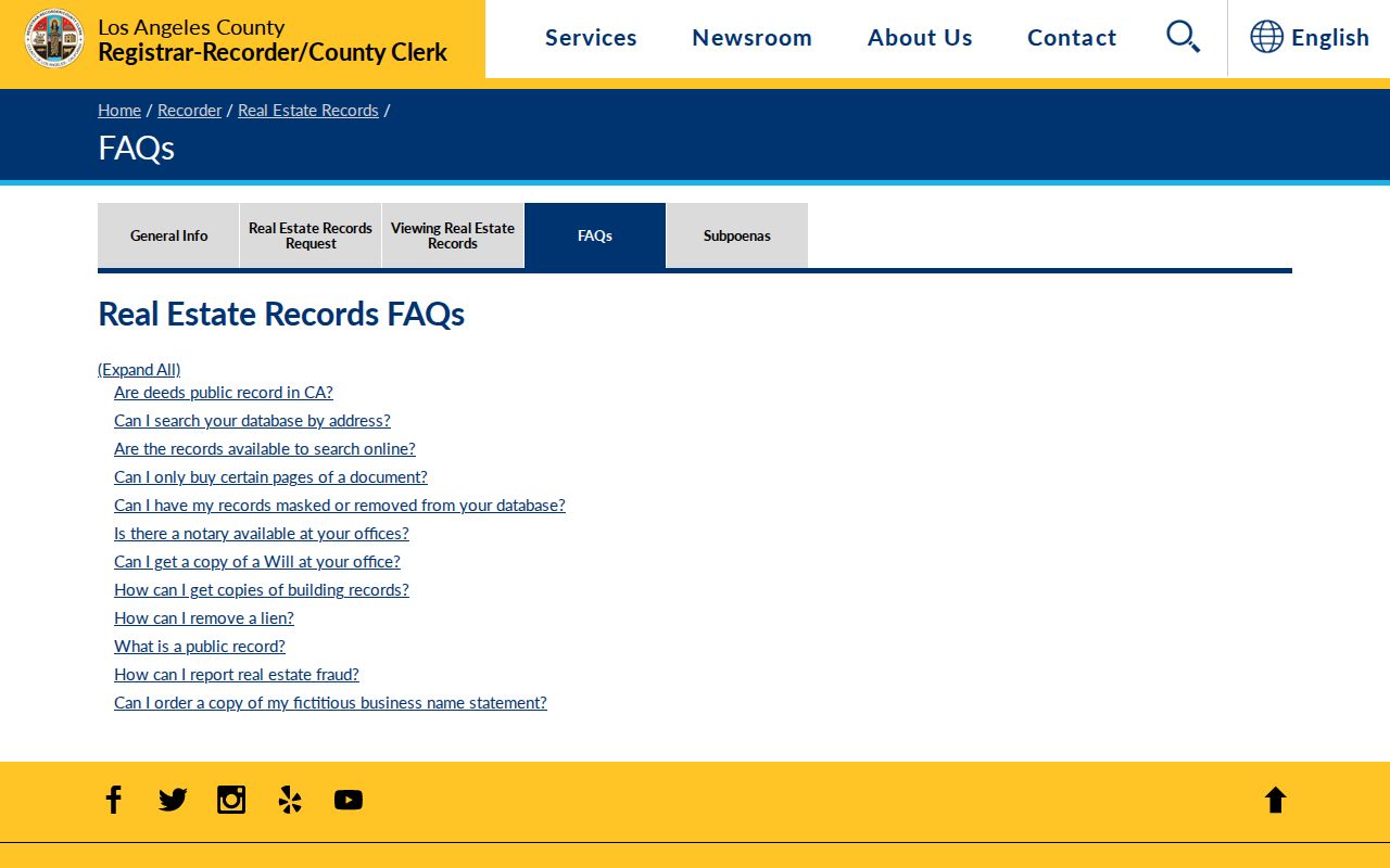
A deed image can identify parties, document type, date, instrument number, legal description, signatures, notary information, and recording references. It can establish a recorded transfer, but it cannot establish that a grantee lived at the parcel.
Calabasas Permits Add Address Clues
City permit files add a useful time layer to the address record. Calabasas Building and Safety states that permit records are public. A permit can identify the project address, permit or application number, valuation, petitioner, property owner, architect, contractor, engineer, contact details, description, issuance date, and inspection dates. A physical permit card can show inspection dates and pass, correction, or fail status. These facts date work at a parcel. They do not prove that every named person lived there.
Use the city’s electronic Public Records Request form for an identifiable file when the permit-holder portal does not provide the needed view. The city asks for a record description, department, date span, and preferred format. Stamped plans and off-site files may need a request, and copying sealed architectural or engineering plans requires owner and design-professional authorization. The city retains approved residential plans for 90 days after final inspection under Health and Safety Code §19850.
The public SmartGov portal supports account-based applications, project review, document uploads, connected permits, fees, payments, and inspection requests for a person listed on an issued permit. Its public crawler did not expose a complete issued-permit lookup without an account, so a missing public result is not proof that no file exists. Call Building and Safety at (818) 224-2534 or use BuildingSafetyInfo@cityofcalabasas.com when the record path is unclear.
HOA material has a similar boundary. The city publishes a 2024 association and property-manager contact directory with association names, management companies, emails, and phone numbers. It is a routing list, not a member directory. No official city master HOA member directory was located. Private association, block-watch, congregation, and club rosters remain voluntary or private unless the organization publishes them.
Reverse Directories and the Calabasas Gap
Reverse directories are the historical occupant layer in address research. A name-first volume can confirm that a person was listed in a regional address range, while a street-order or criss-cross volume can work from a house number toward a listed householder. The entry may be limited to a subscriber, a householder, or a phone listing. It does not prove that every household member lived there or that the listed person owned the land.
Exact Calabasas-named Polk or criss-cross runs have not been published by an official source, and no verified local sample entry was located. Los Angeles Public Library holdings are the regional fallback. Its verified Los Angeles Street-Reverse collection includes 1906, 1927, and 1956-1987 volumes, some of which cover county cities. Search printed prefixes and address abbreviations, and ask reference staff whether a specific Calabasas road appears in the volume before treating a blank hit as meaningful.
The Calabasas city directory collections page keeps the regional shelf, OCR quirks, and census pairing details together. For a current address question, use reverse directories only after the parcel and deed steps. Their value is greatest when they bridge an older address to a family, obituary, census household, or probate file.
Calabasas ZIP Geography Crosses City Lines
Postal geography is another reason an address guide cannot treat every “Calabasas” line as the incorporated city. ZIP 91302 is the principal street-delivery ZIP associated with Calabasas, but it also reaches nearby Los Angeles County communities and addresses outside city limits. ZIP 91372 is grouped with Calabasas in the current USPS labeling material and is associated with an auxiliary or PO-box layer. The official evidence does not support calling it PO-box-only.
Use the USPS ZIP Code Lookup for a particular deliverable address. The current DMM L012 labeling list groups 91302 and 91372 under CALABASAS CA 91302, while a historical bulletin also shows older regrouping. USPS verifies mail routing. The Assessor verifies parcel facts. A city boundary or planning layer verifies jurisdiction. Census ZCTAs are approximations, not USPS ZIP boundaries.
Calabasas records geography follows canyon roads, ranch-era tracts, gated subdivisions, and the US-101, Las Virgenes, Mulholland, Old Topanga, and Calabasas Road corridors rather than a simple grid. A postal city can therefore be outside the incorporated line, and an older directory may use Los Angeles County, a community name, or a telephone exchange. Keep postal city, situs city, parcel jurisdiction, and incorporated-city status in separate fields.
Limits of a Calabasas Street Directory
An address record can show a parcel, a recorded party, a permit contact, a registered voter under restricted access, or a historical listed householder. It cannot supply a complete household list. Utility customer information is not a general public directory. DMV address data is restricted by the federal Driver’s Privacy Protection Act. The Safe at Home program gives eligible participants a substitute mailing address and must not be defeated by combining records.
Voter information is especially narrow. The LA County verification form requires last name, birthdate, house number, and ZIP, and a match confirms registration information to the subject. Elections Code §2194 limits voter-file purposes and prohibits casual commercial use. There is no lawful feature that turns a Calabasas street into an unrestricted list of voters. A parcel owner is not automatically a resident, and a mailing address is not the situs.
| Voter verification field | Type | Required format |
|---|---|---|
| Last Name | Text | Alphabetic only |
| Birthdate | Date or text | mm/dd/yyyy |
| House Number | Text | Numbers only; residence house number |
| Zip Code | Text | Numbers only |
| Verification control | Button | Submits all four fields |
Lawful use. Calabasas address and record sources are appropriate for personal, lawful family history, property research, and civic curiosity. Public availability does not permit stalking, harassment, intimidation, or publication of protected information; California Penal Code §646.9 addresses stalking and §653.2 can apply to specified harmful electronic publication.
When a record conflicts with a compiled profile, return to the custodian. Correct an assessment fact with the Assessor, a court entry with the court, a voter record with Elections, and a city permit through the city’s request channel. The safest address research is a source trail, not a claim that every name found belongs to the same household.