
Calabasas Neighbor Block Sources
A Calabasas neighbors search works best when each source answers one question. The Assessor map gives the parcel frame. The recorder gives a name-and-year title trail. City permits add project and inspection context. Voter material has strict purpose limits. The city HOA contact inventory routes a question to an association or manager without publishing members. A reverse directory may show a listed householder from an older volume, but the local years were not verified in the official online material.
| Source | What It Shows About a Block | Access |
|---|---|---|
| LA County Assessor map | Parcel boundaries, AIN, situs and property characteristics | Free address, AIN and map search; owner names absent online |
| RR/CC Recorder | Successive owners, parties, transfers and encumbrances | Norwalk name-and-year index; free viewing by appointment; no address search |
| City permit file | Project address, named owner or agent, dates and inspection history | Permit account, counter or public-record request; plans can have restrictions |
| Voter material | Registration record for an exact person under an approved purpose | Self-verification and authorized request channels; no public block browse |
| City HOA contact inventory | Association, property manager, management company, email and phone | 2024 city-published routing resource; not a member list |
| Reverse directory | Listed householder or phone by address when a volume includes the area | Library or in-person research; exact Calabasas runs unverified |
| GIS aerial and layers | Adjacent parcels, built form, zoning and district context | Free map tools; map facts are not household facts |
An owner, tax-mail recipient, permit contact and occupant can be four different people. That distinction is central to any search for Calabasas neighbors. A parcel card can locate land. It cannot confirm who sleeps there, who receives every parcel or who belongs to a household.
Calabasas Neighbor Parcel Process
Start with a known address, not a guessed household name. The county Assessor Portal accepts an address or Assessor Identification Number, or AIN. Once the parcel is found, the map can show the polygons around it. Record each nearby AIN separately. Do not treat a subdivision name as proof that every parcel shares one owner.
Block flow: address -> AIN and situs -> adjacent parcel polygons -> parcel facts -> lawful owner channel -> deed name-and-year trail -> permit and occupancy clues.
- Enter the situs address in the LA County Assessor Portal and save the AIN, legal description and map link.
- Pan or zoom to the block and click each adjacent parcel rather than estimating from the street line.
- Use an Assessor district counter or Property Data Sales for owner information because the public parcel card omits the online owner name.
- At the Los Angeles County RR/CC Norwalk office, search the owner as grantee in the likely year and follow the grantor backward.
- Compare permits, directories or census evidence when the question shifts from title to occupancy.
The full named-street chain belongs in the Calabasas street directory. A neighbors search should stay focused on the immediate block or radius instead of rebuilding every address on the road.
Calabasas Neighbor GIS Tools
GIS-NET Public documents identify, query and buffer tools, layer toggles, tract and parcel map query, draw, measure, export, report and print controls, 2023 and older aerial imagery, and Street View. Those tools let a researcher test which parcels touch an address, measure a rough radius and save a map context. They do not convert a radius into a resident roll.
GIS-NET principally covers unincorporated county territory. Incorporated Calabasas parcels need the county Assessor map for the parcel view, with city zoning and permit records added where the question concerns a municipal file. The two viewers answer different geography questions. A buffer can cross a city line, a canyon tract or a neighborhood association boundary.
Older aerial sets listed in the research include 2011, 2008, 2006 and 2001-02. Some may have loading issues. A failed historical-image layer is a portal limit, not proof that a parcel or building did not exist. Use a dated deed, tract map or permit to test a historical claim.
Map evidence is strongest when the AIN, situs and legal description agree. Keep the map date beside the result, especially where Old Town, ranch parcels, gated communities and mountain roads create irregular block shapes.
Calabasas Neighbor Owner Clues
A parcel owner is not necessarily a Calabasas neighbor. The owner may use a separate mailing address. A permit applicant may be an architect, contractor, agent or stale project contact. A tax record can identify a parcel and payment facts without showing who lives there. Reverse directories and census schedules can add occupant evidence, but their coverage and address matching are not the same as a current parcel record.
Keep four labels in the notes: title holder, tax-mail recipient, permit contact and documented occupant. A deed transfers an interest in land. It does not state that the grantee occupied the property. A permit dates work and inspections. It does not prove who was present on each day. A census entry can place a household at an address on an enumeration date, but it is historical evidence rather than a current roll.
This separation is a useful Calabasas records quirk. The Assessor makes address and AIN searching easy while withholding owner names online under the county's reading of former Government Code section 6254.21. Owner data remains available at district counters or through Property Data Sales, but the public map is not a people browser.
Calabasas Neighbor Geography
Calabasas lies where the San Fernando Valley meets the Santa Monica Mountains. Incorporated parcels sit beside unincorporated mountain territory, Hidden Hills, Agoura Hills, Malibu and City of Los Angeles communities. The records geography follows canyons, ridges, ranch-era tracts and gated subdivisions rather than a simple grid. A nearby parcel may therefore sit under a different planning or public-record route even when it shares a postal label.
Use the county Assessor map for the incorporated parcel frame. Use GIS-NET for planning context in unincorporated territory. City Clerk and Building and Safety records cover city-created permits, code material and inspection history. The county RR/CC controls deeds, voter material and county-clerk filings. Keeping those custodians distinct prevents a map question from being sent to the wrong office.
Neighborhood names such as Old Town/Calabasas Park, Mulwood, Greater Mulwood, The Oaks, Calabasas Highlands, Mont Calabasas and Mountain View Estates help orient a search, but the research does not identify a public master member directory for them. A neighborhood label is a clue for map and association routing, not proof of who lives on a block.
Calabasas Block Records Requests
The Calabasas City Clerk is the route for a city-created permit, code, agenda or correspondence file. Building and Safety's permit-record guidance explains when a file can be viewed at the counter and when a public-record request may be needed. A request should name an identifiable record, date span, department and preferred format. It is not a request for the city to research a person. The California Public Records Act generally calls for a determination within 10 calendar days, with a written extension of up to 14 additional days in unusual circumstances. Those are determination deadlines, not guaranteed production dates.
The Los Angeles County RR/CC public-records request route shows where a county request is sent and why the record holder matters.
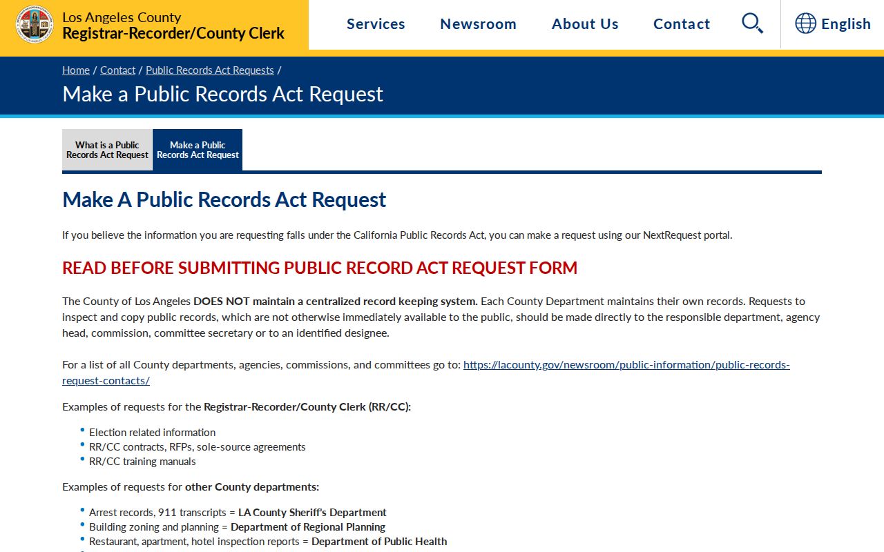
The county request image fits a block search because it points back to the custodian rather than a compiled list.
For recorder, voter and vital records, special access rules and forms control. A CPRA request cannot override voter-purpose limits, vital-copy eligibility or a confidential court file. The RR/CC contact page routes offices, phone menus and email channels for a focused follow-up.
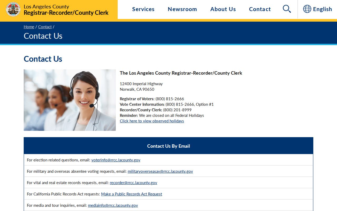
Recorder contact routing is useful when a deed, index appointment or copy request needs the correct county office.
Calabasas Neighbor Voter Limits
The Los Angeles County voter verification tool is designed for a voter checking their own status. It requires last name, birthdate, house number and ZIP, all at once. That design prevents a ZIP or street from becoming a casual list of Calabasas neighbors. Elections Code section 2194 limits voter data to approved political, governmental, scholarly, journalistic or election purposes and prohibits commercial use.
Residence address, phone, email, precinct identifiers and prior registration information have added protection. Bulk files cost $146 countywide, $54 for a precinct, district or city and $39 for an additional file. The applicant must execute a contract and state an authorized purpose. Advertising, solicitation, sale, marketing, Internet posting and harassment are prohibited. Signature, driver's license number and Social Security number are never released.
Los Angeles County voter data purchase information shows the contract and purpose limits.
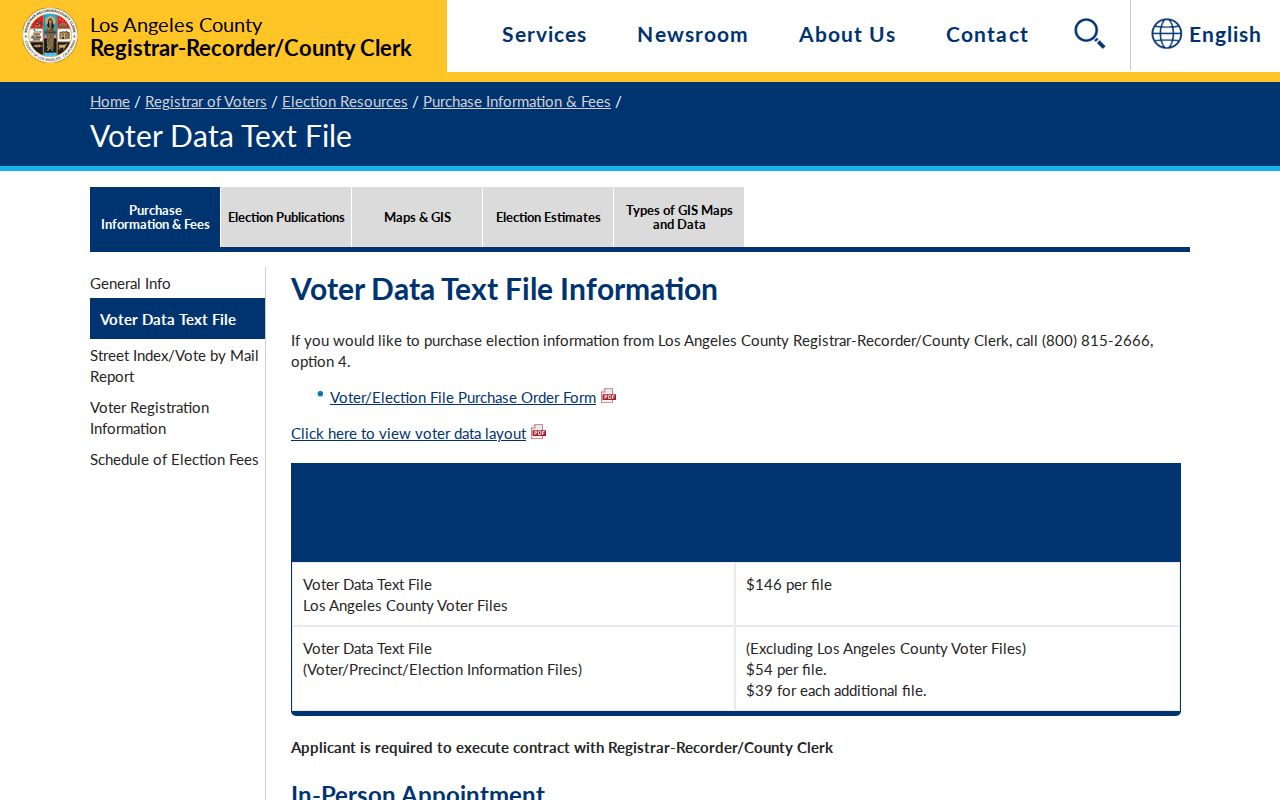
The restricted-data page makes the block-level boundary plain: voter participation history can show an election in which a person voted, never the ballot choice, and no casual block roster is offered.
Calabasas Neighbor HOA Routes
The City of Calabasas published a 2024 HOA and property-manager contact inventory. It lists an association, manager or management company, email and phone so a resident can route a community question. It is not a member directory. The named entries below are routing resources only, not claims about who lives in any association.
| Association named in the city inventory | Routing use | Boundary |
|---|---|---|
| Calabasas Highlands | Use the city inventory's manager, company, email or phone | No public member roster implied |
| Calabasas Hills | Route a community question to the listed property contact | Contact record is not household evidence |
| Calabasas Park | Use the listed association or manager channel | Association boundary is not a parcel title |
| Greater Mulwood | Use the city-published routing entry | No member names supplied by the inventory |
| Mont Calabasas | Ask the listed manager about public community material | Private directory rules still apply |
| The Oaks | Use the listed association or management contact | Contact routing does not prove occupancy |
Other named entries include Alizia Canyon, Calabasas Country Estates, Canyon Creek, Cold Creek Thousand Peaks, Las Virgenes Village, Malibu Creek, Mulholland Heights, Old Topanga, Park Sorrento, Saratoga Ranch, Steeplechase, The Colony, Vista Pointe, Westridge and Woodland Terrace. The city list is valuable because it supplies a route when an association itself is hard to find, but it does not turn a private HOA roster into a public record.
Calabasas Neighbor Community Memory
The community-directory layer can answer a different question from the parcel map. The Calabasas Chamber member page offers keyword, category and A-Z browsing. Its categories include civic organizations and HOAs, funeral homes and memorial parks, media, schools and country clubs. Results show business names, addresses and phones. Chamber contact is 26787 Agoura Road, (818) 222-5680 and info@calabasaschamber.com. Those are business and routing facts, not a household roll.
The Calabasas Library catalog and reference desk are the first local cultural-memory contact. Regional fallbacks include Los Angeles Public Library collections, LA County Library databases, Cal State Northridge Special Collections, Pepperdine University Special Collections, the National Archives at Riverside and Santa Monica Mountains National Recreation Area archives. School yearbooks, alumni publications, congregations, veterans' posts, fraternal records and funeral-home obituaries may help with a historical neighbor question, but many are privately controlled.
Pepperdine's Calabasas Campus library at 26750 Agoura Road is unstaffed and open when campus is open. Payson Library in Malibu handles research help, and Pepperdine Special Collections in Payson Room 352 is open to public researchers. Leonis Adobe Museum at 23537 Calabasas Road, (818) 222-6511, interprets the adobe, Miguel Leonis, Espiritu Chijulla and family history; its guided house tours run Saturday and Sunday. The research did not locate a public name index or paid lookup at the museum.
Calabasas Neighbor Safety Context
Public safety records have a narrow role in a neighbors search. The Los Angeles County Sheriff Inmate Information Center can search by name or booking identifiers and may show booking, custody, facility, bail or release data where public. A jail booking is not a conviction, and an inmate interface is not a complete criminal-history search. Incident reports can be withheld or redacted for active investigations, victim privacy, juvenile status and other statutory exemptions.
The Los Angeles County Sheriff inmate information search is the official route for the limited custody information described above.
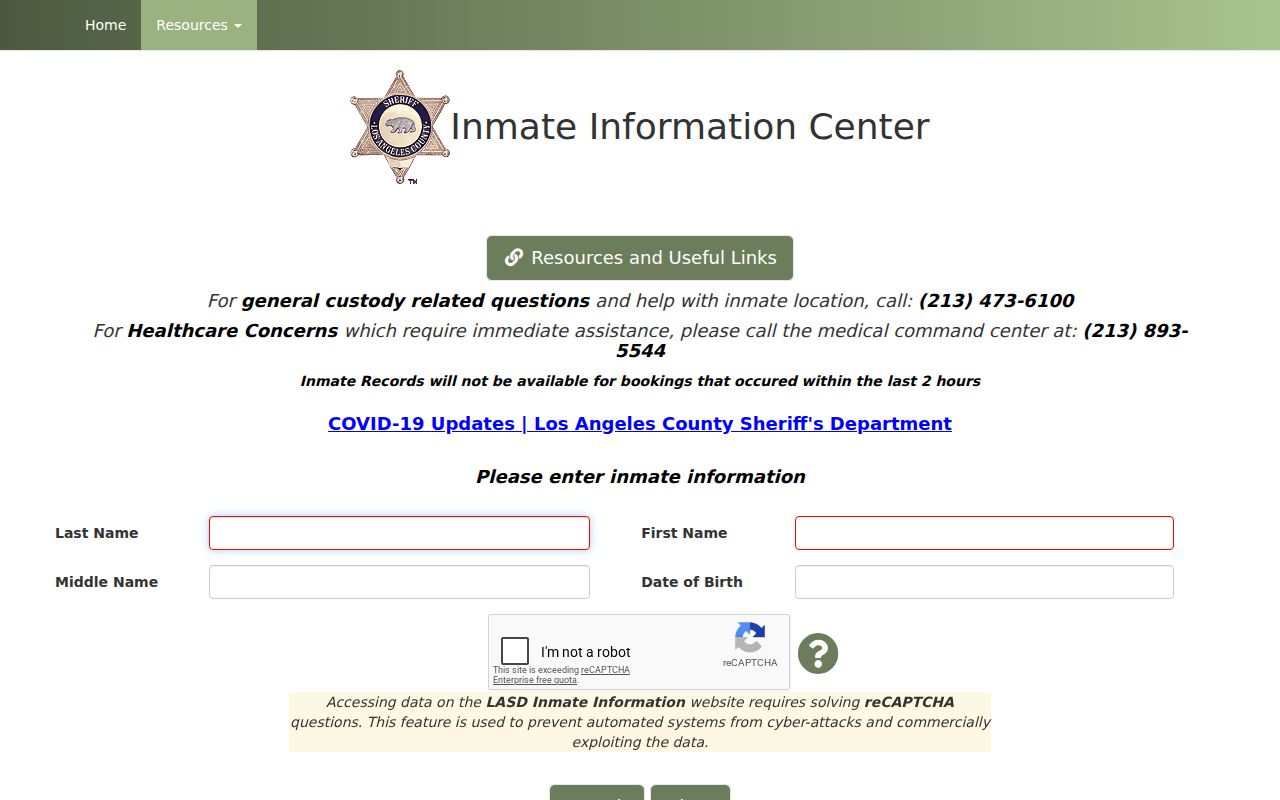
The official custody interface is a defined lookup, not a shortcut to infer who lives on an adjacent parcel.
California's Megan's Law site, the CDCR incarcerated-person locator and agency records have separate scope and warnings. Keep a safety concern with the responsible agency. Do not treat a name match, a booking record or a map point as proof of conduct by a neighbor.
Calabasas Neighbor Privacy Limits
California privacy law gives covered consumers rights to know, delete, correct, limit sensitive-information use and opt out of sale or sharing, subject to exceptions. The California Delete Act adds data-broker registration and a central deletion process. In 2026, the Attorney General described the Delete Request and Opt-out Platform, or DROP, as one request reaching more than 500 registered brokers, with processing required from August 1, 2026. A government parcel, deed or voter rule remains controlled by its own custodian and statute.
California Attorney General CCPA guidance explains consumer privacy rights and the official request path.
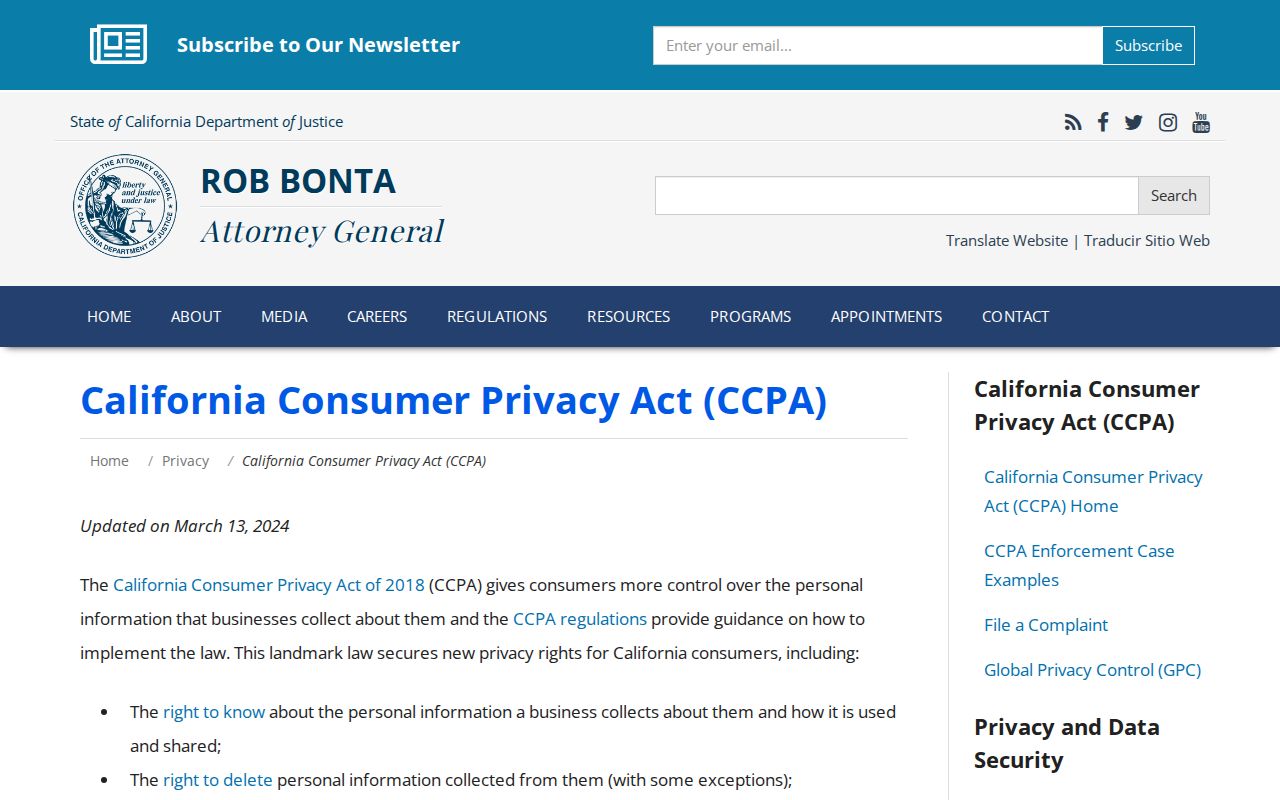
Privacy guidance matters when a commercial category repeats a stale parcel or merges two names. Remove or correct a compiled listing through the business or California privacy channel, not through the county Assessor.
| Source category | Useful block fact | Boundary |
|---|---|---|
| Official county and city records | AIN, parcel, title, permit, inspection or identifiable correspondence | Custodian rules, fees and privacy exemptions apply |
| Community resources | HOA route, manager contact, business or historical lead | Voluntary and private; not a household roster |
| Commercial people-data category | May compile public and purchased data into a suggested profile | Can be stale or merge names; verify with the custodian |
Lawful use. Calabasas neighbors searches are for personal, lawful block knowledge, reconnection and safety awareness. California Penal Code section 646.9 addresses stalking, and section 653.2 can apply to specified electronic publication intended to cause unwanted contact, injury or harassment. Do not use a map, name or record to watch, intimidate, publish protected data or harm anyone.
Safe at Home participants may use a substitute mailing address, and the program does not erase older records. Utility customer data and DMV address data are not general public directories. When a resident is absent from the visible trail, the proper conclusion is that the record is limited or protected, not that the person is absent from the block.